Civil Survey Short Course
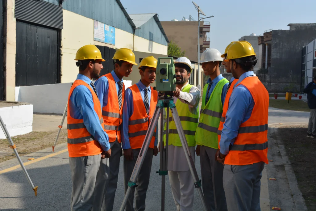
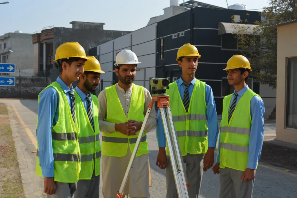
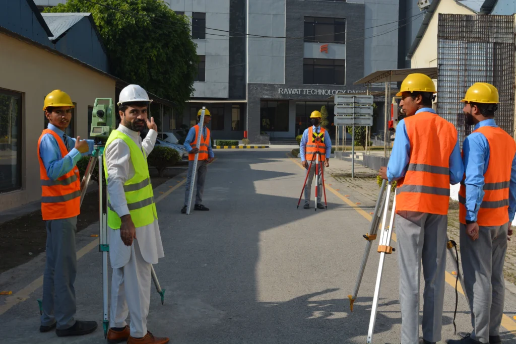
In the Civil Survey Short Course, students gain hands-on training in the fundamental techniques of land surveying, topographic mapping, and construction layout. Trainees learn to operate essential surveying instruments such as Total Stations, GPS devices, Auto Levels, and Theodolites. The course also covers measurement principles, leveling techniques, boundary marking, contour mapping, and data collection. Students develop a strong understanding of fieldwork procedures, teamwork, and safety protocols—key foundations for working on construction and civil engineering sites.
Additionally, students learn how to interpret survey drawings, convert field data into technical maps, and prepare site reports using modern surveying software. Practical sessions include road alignment, plot demarcation, elevation measurement, and earthwork calculations, enabling trainees to understand real-world civil engineering applications. By the end of the course, participants become job-ready survey technicians capable of supporting infrastructure development, construction projects, and urban planning assignments.
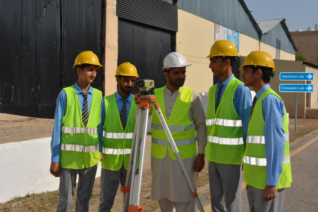
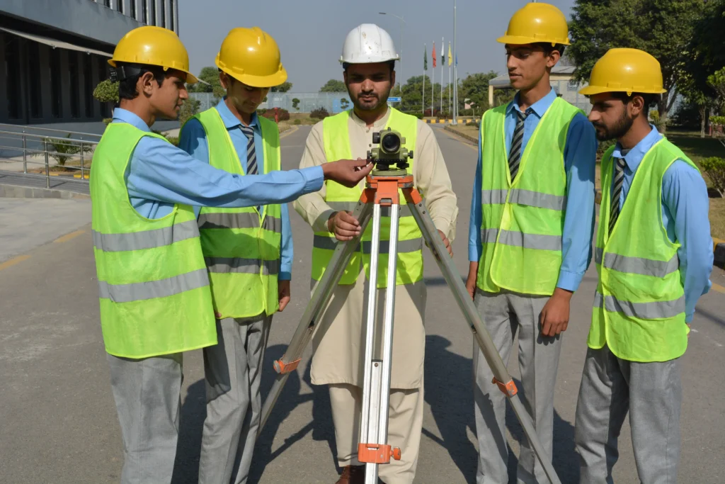
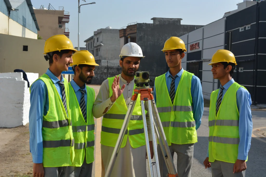
Practical Civil Survey Training
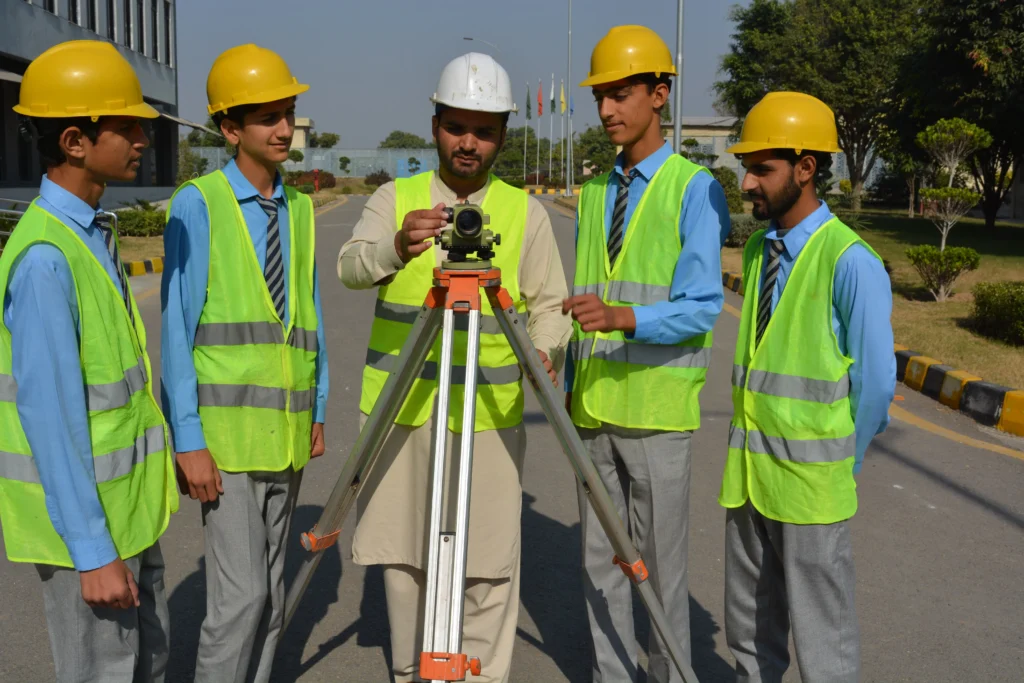
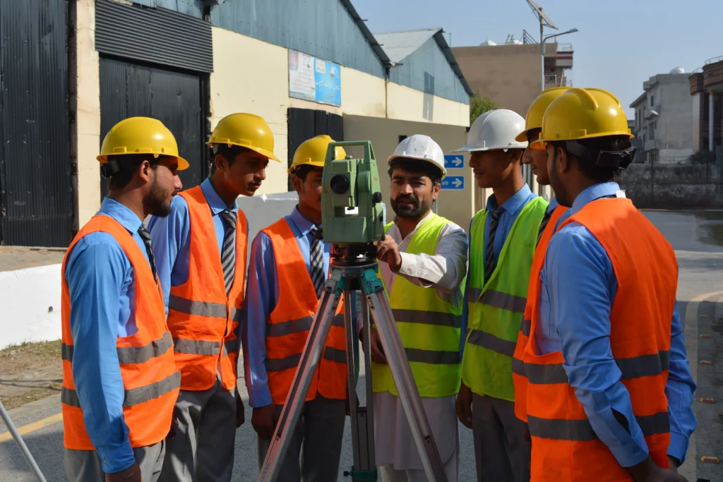
Our trainees perform real-world surveying tasks using Total Stations, Auto Levels, GPS equipment, and other professional instruments. These practical field sessions help students understand measurements, leveling, data collection, and site mapping, preparing them for work on construction and civil engineering projects.